Village of Round Lake Beach
LOCATION
Round Lake Beach, IL
- Utility Network Implementation
- Asset Management System Integration
- Field Data Collection
- Geographic Information Systems (GIS)
- Infrastructure Assessment / CIP
- Data Migration
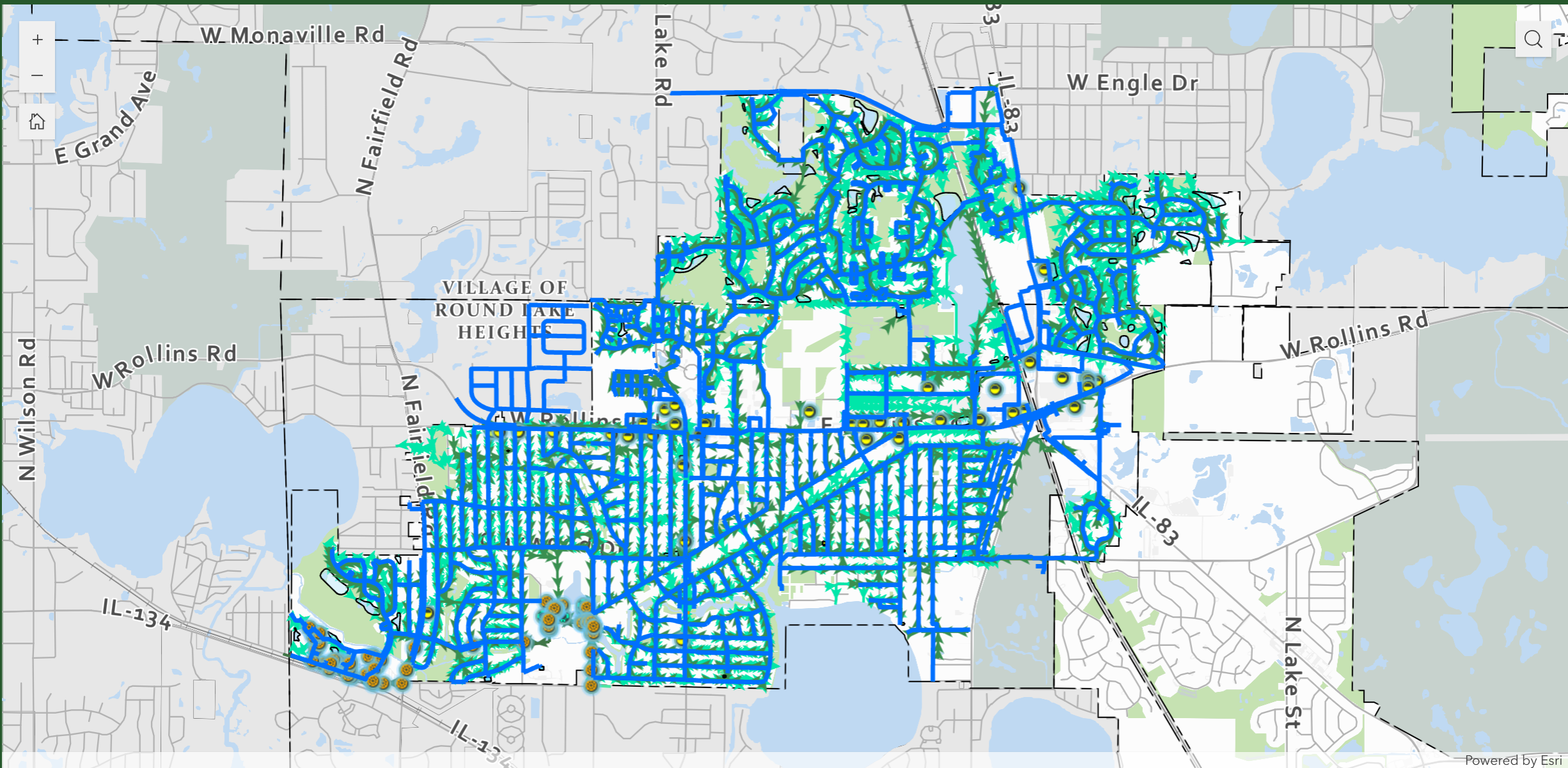
Gewalt Hamilton Associates, Inc. (GHA) led the modernization of the Village of Round Lake Beach’s Geographic Information Systems (GIS) through the implementation of Esri’s Utility Network. The project established a centralized platform for managing infrastructure data associated with the Village’s water, sanitary sewer, and stormwater systems.
Transitioning from a legacy system allowed the Village to restructure its utility networks using rule-based connectivity that reflects real-world infrastructure conditions. This improved how assets are represented, validated, and analyzed within the GIS environment, providing staff with clearer insight into network relationships and supporting more informed operational decisions.
Field accessibility improvements were incorporated into the project. Village staff now use mobile GIS tools to locate assets, complete condition assessments, and update records directly from the field. This streamlined workflow improves communication between field crews and office staff while reducing delays associated with manual data entry and paper documentation.
The completed system provides the Village with improved visibility into its infrastructure network and asset information. By improving visibility into asset condition, location, and system connectivity, the Village can better coordinate maintenance activities, prioritize system needs, and plan for future capital improvements. The project provides a scalable GIS framework that supports both daily operations and long-term infrastructure planning.