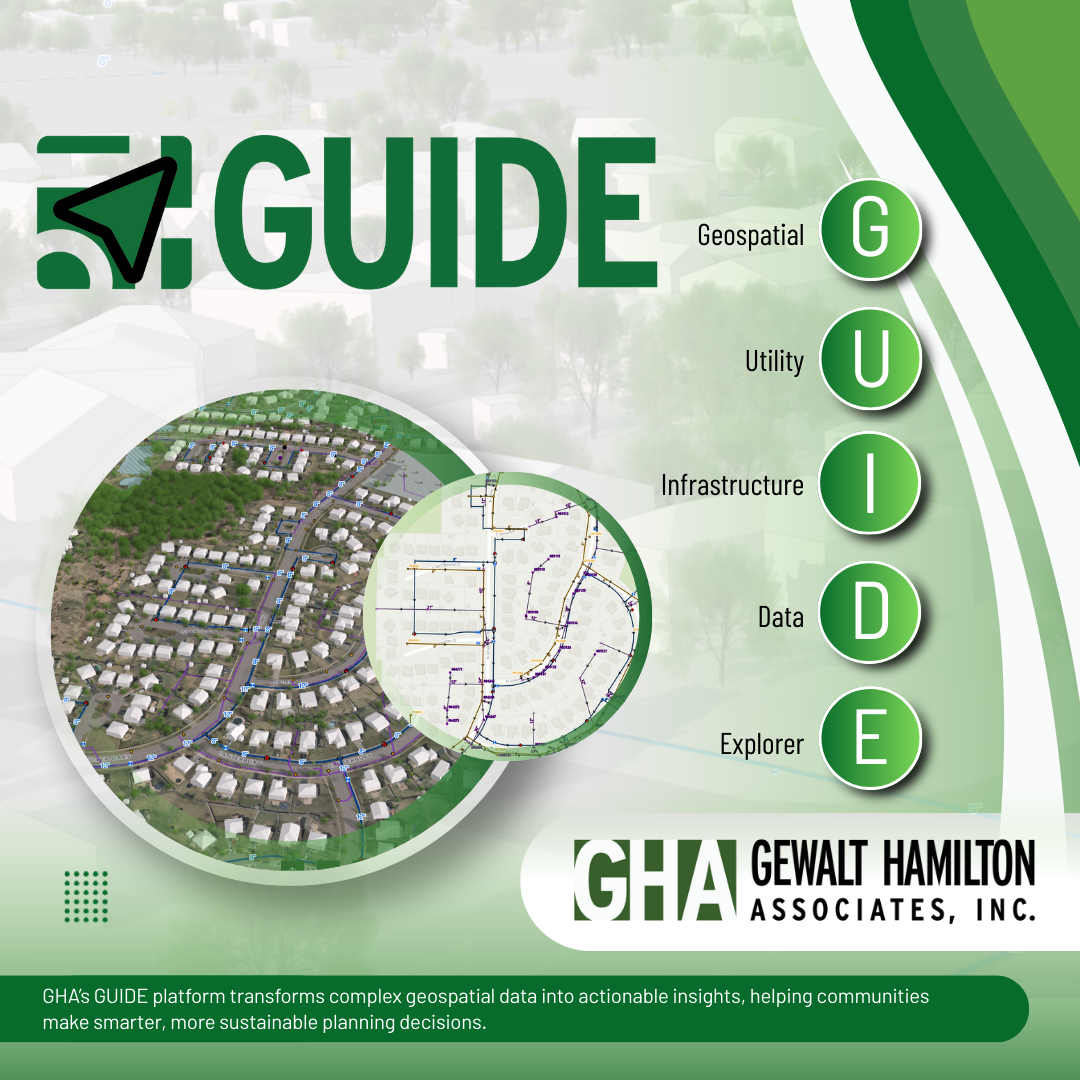
Vernon Hills, IL – Gewalt Hamilton Associates, Inc. (GHA), a leader in civil engineering and geospatial solutions, is proud to announce the launch of GUIDE (Geospatial Utility and Infrastructure Data Explorer), a cutting-edge web-based GIS and 3D mapping application designed to transform community planning and development. GUIDE represents a significant leap forward in digital twin technology, offering advanced visualization capabilities that bring community-wide projects to life in unprecedented detail.
GUIDE’s dynamic platform features innovative tools for daylight simulation, shadow casting, and line of sight analysis. This enables users to explore the impact of current and future developments on the environment in real time. By simulating changes in the time of day, GUIDE provides valuable insights into how developments affect the natural and built environment, enabling more informed decision-making.
The groundbreaking dual 2D and 3D visualization offered through GUIDE revolutionizes the planning process, offering unparalleled side-by-side analysis. This feature is key to bridging the gap between traditional mapping techniques and the future of community development.
Built with a powerful combination of software tools and a well-designed user experience (UX), GUIDE empowers efficient planning processes. This focus on UX extends beyond technical aspects, ensuring the platform is both feature-rich and intuitive. A clean and visually appealing interface design featuring custom icons and elements, creates a seamless and enjoyable user experience in GUIDE.
Building GUIDE’s immersive 3D experience involved extensive LiDAR (Light Detection and Ranging) processing. LiDAR data was used to extract elevation surface models, including Digital Surface Model (DSM), Digital Terrain Model (DTM), and Normalized Difference Vegetation Index (NDVI). These models provided crucial insights for generating accurate building and tree heights within the 3D environment.
Leveraging innovative techniques, the development team automated the extraction of mosaic tiles from high-resolution 2023 aerial imagery. This process established a baseline for footprint development within the 3D environment. Deep learning tools power GUIDE’s automatic generation of current building footprints, keeping data within the application up-to-date.
As GUIDE rolls out, GHA is excited to offer this revolutionary tool to communities, planners, and developers alike, providing a platform that not only visualizes the future but helps to shape it. GUIDE is more than a mapping application; it’s a step toward smarter, more sustainable community planning and development.Gewalt Hamilton Associates, Inc. (GHA) is a Professional Engineering and Land Surveying firm licensed and registered in the State of Illinois. For more than 40 years, GHA has been providing civil engineering, surveying and geospatial services to municipal governments, townships, county and state agencies, school districts, park districts, colleges and universities, and private organizations.
For more information about GUIDE and how it can transform your community planning efforts, please contact Gewalt Hamilton Associates, Inc.
Contact:
Greg Newton
Director
gnewton@ghaway.com
847-478-9700